Using many low-cost vehicle GPS fixes to tighten road geometry
The patent describes collecting location messages from many vehicles with low-cost positioning (≈10 m accuracy) and using those locations as control points to adjust or re-fit road geometry in an existing street map. The system decodes vehicle messages, aggregates vehicle positions, and applies interpolation/adjustment algorithms to update road position information; fleets, map providers, or automakers would use it to increase map precision without expensive survey vehicles.
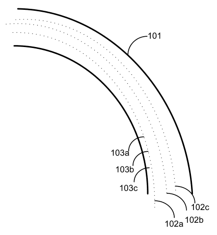
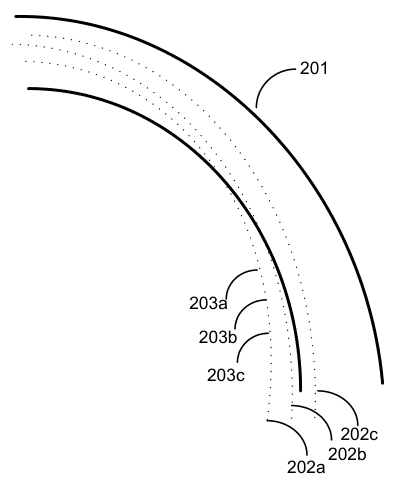
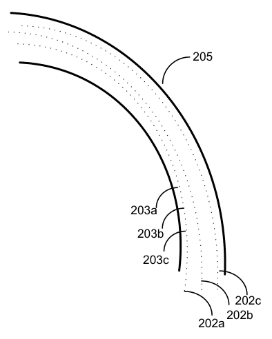
(57) What the patent covered
This write-up was generated by AI from the patent's text and may contain mistakes, so check it against the original patent before relying on it.
The independent claims cover a system or method that receives messages from multiple vehicles over a network, decodes each message to obtain the vehicle location, and updates position information for a road in an existing map using those vehicle locations. The required features are network receipt of per-vehicle messages, decoding to determine locations, and updating map road position based on those locations.
Distinguishing feature: Using large numbers of low-precision vehicle location reports as control points to correct and refine road positions in an existing map.
Novelty 3/5. At filing time mass-collection of probe GPS points for map improvement was known; the patent focuses on using many low-cost, higher-uncertainty receivers and specific interpolation/adjustment of road geometry rather than relying on high-precision survey sensors.
Implementation
Build a message ingestion API that accepts vehicle position reports (timestamp, lat/lon, heading, speed, vehicle id); run streaming filtering to remove outliers and weight points by heading/speed and sample count; cluster points per road segment using a spatial join to the base map; apply robust curve-fitting or least-squares map-matching to compute corrected centerlines and update the road geometry in the map store; iterate with new data and maintain versioning.
Components: Fleet or user vehicles emitting periodic location messages, Backend ingestion and message-decoding service, Aggregation and filtering pipeline (spatial/temporal), Interpolation or map-fitting algorithm (e.g., spline fit, least-squares adjustment), Existing base map store (road graph).
Buildability 5/5. The engineering is straightforward; the main work is reliable data ingestion, robust outlier filtering, accurate map-matching, and operational telemetry at fleet scale.
Market demand
Comparable products exist; none doing exactly this was found.
- Open3DMap · Open3DMap (community project)free
- TomTom Continuous Map Processing (HD Maps + crowdsourced updates) · TomTom
- Map Editing Partnership Program (MEP) · TomTom
Demand check by web search, week of Oct 12, 2026. Listings change frequently.
Buyers: Map providers; automakers; fleet operators.
Before manufacturing
No related continuation or divisional patents in force were found. Design patents, trademarks and unrelated patents may still cover the product.
Practical risks include noisy/biased GPS data requiring careful filtering, sparse coverage on some roads, privacy and data-collection regulations, and overlapping prior art in probe-based map improvement.
About 1.5% of lapsed patents are later revived by their owners. This page is a research lead, not legal advice. Obtain a freedom-to-operate opinion before manufacturing.